
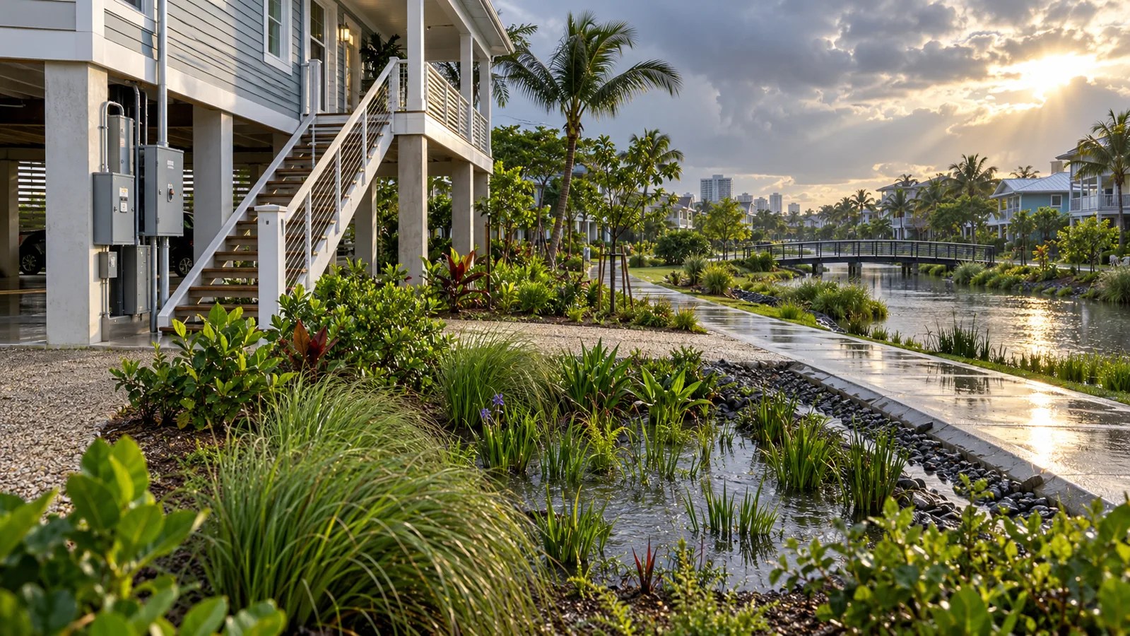
Flood adaptation can begin at a front door: raise electrical equipment, improve drainage, use water-resistant materials or keep valuables above expected water levels. These measures can reduce damage. They cannot control all the water arriving from the wider neighborhood and catchment.
Effective adaptation connects property, street, drainage network, river and floodplain. Each scale manages a different part of the risk.
What households can control
FEMA guidance includes elevating utilities, maintaining gutters and drains, improving lot grading, reducing impervious surfaces and using flood-resistant approaches appropriate to the building.
Property measures usually fall into four groups:
- Keep water away: barriers, grading and maintained drainage.
- Keep critical systems above water: elevated electrical, cooling and communications equipment.
- Reduce damage when water enters: resistant materials and layouts that are easier to clean.
- Prepare people: warnings, evacuation plans, insurance and protected records.
The safe choice depends on flood depth, velocity, duration, contamination and building type. A barrier that works for shallow surface water may be dangerous during deep or fast-moving floods.
What the neighborhood controls
Street levels, blocked drains, sewer capacity and nearby construction can determine whether water pools around a home. Rain gardens, permeable surfaces and detention areas can slow runoff, while pipes and pumps move it.
Maintenance is as important as construction. A designed storage area filled with sediment or a drain blocked by waste may not perform during the storm it was built for.
What the catchment controls
Upstream development changes how quickly rainfall reaches rivers and low-lying areas. Wetlands, floodplains and forests can store or slow water, while dense impervious development accelerates runoff.
The U.S. Environmental Protection Agency describes planning at site, neighborhood and regional or watershed scales. Regional planning protects larger natural systems; neighborhood planning reduces local flooding and impervious cover; site measures manage runoff close to where rain falls.
Residual risk remains
No measure removes all flood risk. Defences can be exceeded, pumps can lose power and rainfall can fall outside historical design assumptions. This is why a flood map should be read as a probability and consequence tool, as explained in our guide to probability, exposure and residual risk.
A layered plan
- Identify flood sources: intense rain, river overflow, coast, groundwater or drainage backup.
- Protect people and critical services first.
- Choose property measures for the expected depth and flow.
- Fix neighborhood drainage and maintenance bottlenecks.
- Protect upstream storage, floodplains and safe flow paths.
- Plan for exceedance with warnings and evacuation.
- Review performance after each event.
Avoid shifting risk
A wall or raised site may protect one property while pushing water toward a neighbor. Faster drainage can move a peak downstream. Catchment modelling and community planning are needed to identify these transfers.
Household action is valuable because it can be implemented quickly and tailored to a building. Catchment action changes the volume and pathways of water affecting many buildings. Resilience improves when the two are designed together.
Nature-based storage can also complement drainage networks; our sponge city guide explains how green space affects runoff and where its limits remain.
Featured image: AI-generated editorial illustration by ClimateCrisis Editorial. It does not depict a specific place, project or event.